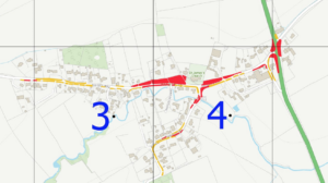
Here’s a couple of documents regarding the grass cutting in the village.
1) Aslackby Village Grass Cutting Plan
This map highlights the grassed areas of the village which are maintained by the Parich Council. You can click on the map below or click this link to open the map as a PDF in your browser. You can then use the + tool in your PDF viewer to zoom in on the map.
2) Grass Cutting – Reducing Flood Risk
This is an information guide from the Environment Agency to inform the public why and how they keep the grass and wild plants in check to prevent potential flooding problems. You can open the PDF document using this lnk.
